
A powerful but deep earthquake with a preliminary magnitude of 7.7 has struck the U.S. commonwealth the Northern Mariana Islands in the western Pacific Ocean, seismologists say. No tsunami warnings have been issued. Story/updates via BNO News.
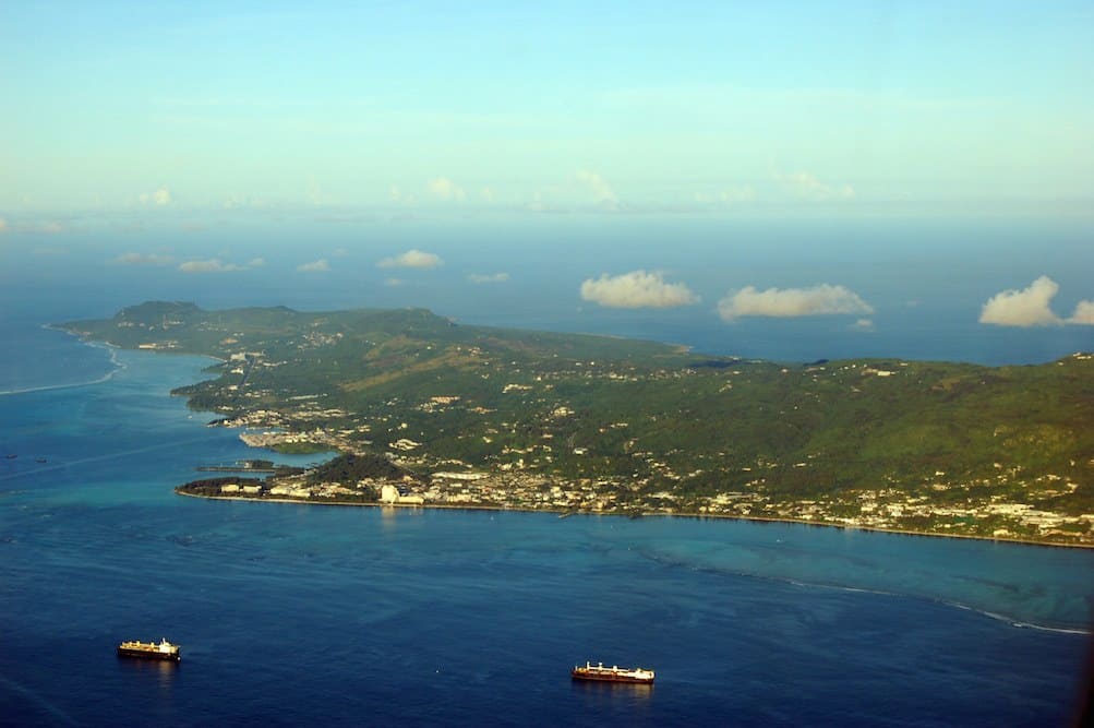
The earthquake, which struck at 7:18 a.m. local time on Saturday, was centered about 32 kilometers (19 miles) southeast of the island of Agrihan, or 364 kilometers (226 miles) north of Saipan, which is the largest island of the Northern Mariana Islands.
M7.7 – 31km SSW of Agrihan, Northern Mariana Islands https://t.co/pgTuMjC3Wu Pager indicates minimal damage. Did You Feel It?
— USGS_Seismic (@usgs_seismic) July 29, 2016
The Pacific Tsunami Warning Center measured the preliminary magnitude of the earthquake at 7.7 but said it struck at a depth of 203 kilometers (126 miles), which will significantly minimize its effects. The earthquake was widely felt in both the Northern Mariana Islands as well as the U.S. territory of Guam.
“Based on all available data, there is no tsunami threat because the earthquake is located too deep inside the Earth,” the tsunami warning center said in a bulletin. Chile’s Hydrographical and Oceanographical Service of the Navy (SHOA) briefly issued a tsunami warning but canceled it just minutes later.
In October 2007, a powerful 7.2-magnitude earthquake was centered about 58 miles (93 kilometers) north-northwest of Pagan in the Northern Mariana Islands. It struck about 154.3 miles (248.3 kilometers) deep, making it a deep earthquake, and there were no reports of damage or casualties.